Multiple-point statistics: a bridge between geostatisticians and geoscientists to model Nature in a realistic way
IDYST-ISTE Seminar
Monday 18 February 2019 - 16h15 to 17h00 - Géopolis - 1620
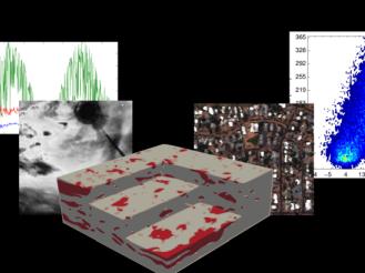
Geostatistics is used to quantify uncertainty, interpolate missing data, and simulate possible scenarios for a wide range of environmental and anthropic phenomena. At the beginning of the ‘90s, a group of geostatisticians moved away from classical geostatistics to focus on the preservation of crucial properties such as connectivity, complex geometry, and multivariate relations: it was the birth of multiple-point statistics (MPS). This stochastic modeling approach benefits of the knowledge brought by experts in the field of application, providing training images that “show” the output of a process, instead of relying only on statistical laws. By mimicking the data patterns present in the training images, it is possible to generate synthetic data that “look realistic” and honor complex properties usually difficult to simulate in a parametric framework. After more than 20 years, the MPS game is still on the way of development, relying on the synergy between geoscientists and geostatisticians. Are you ready to join?
idyst